

Post by AirCoaster on Jan 17, 2011 16:47:45 GMT -5
Hi Gang,
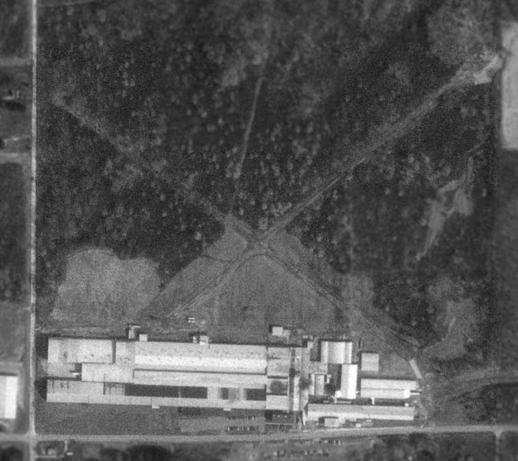
I ran across this the other day while digging through my old scenery files. Old Ohio Airports was a small area where I had created a series of airports that were connected using an old navigation system using airway beacons. I thought it would be a good idea to re-release it to allow those who never had a chance to try this scenery to see what it is all about.
CAUTION: This scenery was created for FS2002, but does run fairly well in FS9(2004), and should be only attempted by those who have the skill to add/delete/copy/paste files in Flight Sim.
It is missing one texture, which I can't seem to find, and it is for one building at New Philadelphia.
The maps and install files are in the Old Ohio Airport main folder. I suggest you unzip the zip file to a convenient location and copy/paste it from there. This will allow you to look at the maps and read the ReadMe before install. Also, if you want the full effect of the airway beacons in FS2004(FS9) go to the C:\Program Files (x86)\Microsoft Games\Flight Simulator 9\Scenery\Name\Scenery and copy and save in a temp folder AP926170.bgl file, then delete that file from the scenery folder. This will remove any airports of modern design from the local area. These airports have a tendency to interfere with the functionality of the airways beacons because of their powerful lamps. Remember, the airways beacon system was created during the 1920s.
The airway beacons where arranged with red and green lamps as markers, red route beacon, green airport beacon. A white flashing lamp is also included with each beacon to allow identification of the location of the beacons. Normally these beacons were place at 20 mile intervals, but the limitations of FS wouldn't allow this, so they are at 10 mile intervals. If at first you don't see the beacons, fly past the one you are lock on to, eventually the beacon will be seen.
The ReadMe has some locations of the airports using the World Co-ordinates system. This may be helpful as the airport data for the Old Ohio Airports does not show up in the Goto Airports menu of FS2004(FS9). FSNav is a recommended tool to use to get you to the airports as it allows you to move your aircraft to a particular location using a right-click/ move aircraft to here procedure.
The zip file ooa_series_i.zip can be downloaded from here . Save it to a memorable location so you have easy access to it.
I certainly hope you have fun using this scenery.


 Thank you AirCoaster. I have already downloaded it and will try to make the trip during the next days.
  I have never heard of this one Tom, I am too new to the Sim


 but the lamps are nice.
 ?)
?)