|
|
Post by scubakobe on May 17, 2008 21:47:32 GMT -5
It should fit, if not, I can redo the shorelines using USGS data.
That would require some work with default FS9 files, so unless it's necessary I try to avoid that. Makes the install process more difficult by hand.
Are you distributing this scenery? I can make an installer program for it. (Which would eliminate the problem of editing the shorelines)
|
|
|
|
Post by trans1007 on May 18, 2008 1:40:22 GMT -5
I think a installer is a great idea.
|
|
|
|
Post by scubakobe on May 18, 2008 22:14:57 GMT -5
Looks like I'll have to make an installer anyway, the airport won't fit. Gonna have to edit the shorelines. Ah.  |
|
|
|
Post by scubakobe on May 18, 2008 22:41:20 GMT -5
Not too bad after all, only took, maybe 20 minutes to redo the shorelines. How does it look? 
This is where I got with it today. I'll work with it more later this week.  |
|
|
|
Post by trans1007 on May 19, 2008 1:49:41 GMT -5
Stunning, and extremily beautiful.
|
|
|
|
Post by scubakobe on May 19, 2008 20:11:06 GMT -5
I don't see any runway numbers in the satellite photos, so do you want me to leave them as is?
Currently I'm using taxi aprons as the runways. If you want them to be actual runways with numbers (Or without) then let me know.
What else would you want done with the scenery?
|
|
|
|
Post by trans1007 on May 20, 2008 1:17:39 GMT -5
19 is on the bayside and 36 is on the ocean beach side. can you look at leeward field and make sure its lc and layout afcad wise looks like the google satelite image, looks like ms did a ok job on the harbor area's, just got to find some piers.
|
|
|
|
Post by scubakobe on May 21, 2008 18:58:11 GMT -5
Check your PMs.
|
|
|
|
Post by trans1007 on May 21, 2008 19:22:07 GMT -5
ok go ahead and attach the rwy numbers and send beta. I'll get those afcads together i just have two tricky cuban fields left.
|
|
|
|
Post by trans1007 on May 22, 2008 2:45:52 GMT -5
Now thats McCalla Approach. Excellent. 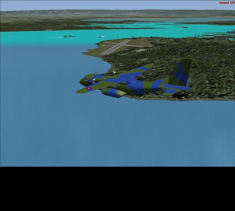 |
|
|
|
Post by trans1007 on May 22, 2008 3:11:26 GMT -5
And what the heck heres GTMO useing FSX SP1+SP2 - SP2 + Acceleration Combo install. 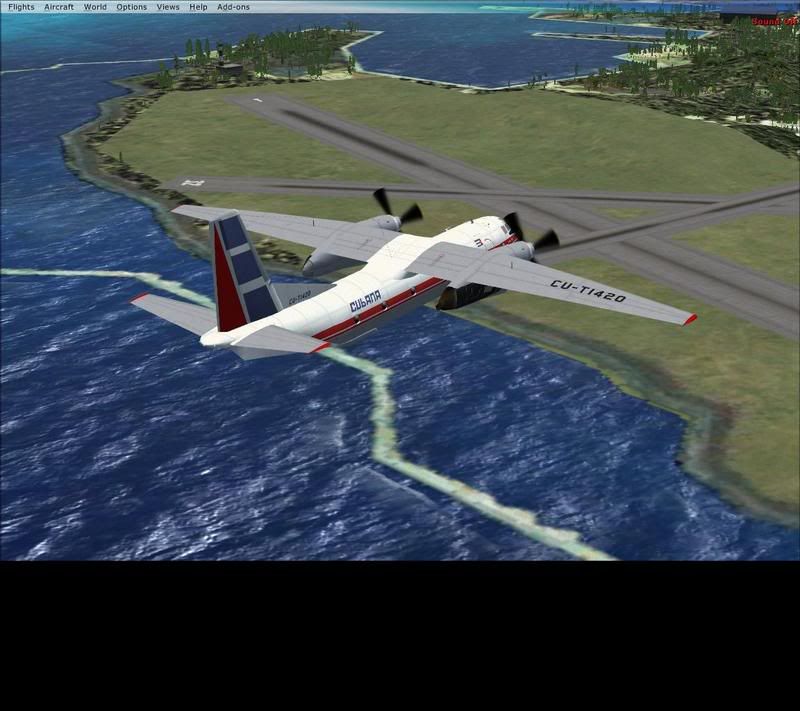 |
|
|
|
Post by scubakobe on May 22, 2008 14:55:51 GMT -5
FS9 sceneries don't transfer in to FSX smoothly at all. FSX has a totally different default scenery system unlike that of FS9 which is organized in to North America East/West, Asia, etc.
An FSX version will take some more work, did you want it for FSX?
|
|
|
|
Post by trans1007 on May 22, 2008 18:12:01 GMT -5
Well originally i was hopeing for a single fs9 fsx version. But if a separte fsx version could be done then implemented into current installer as a chioce between fs9 and or fsx that would be a winner with both FS9 and Fsx ers.
|
|
|
|
Post by trans1007 on May 24, 2008 2:59:27 GMT -5
Nice scenery you released on avsim today. Chemehuevi Valley Airport is were ive been flyin for about two hours today. Excellent job.
|
|
|
|
Post by scubakobe on May 24, 2008 16:14:21 GMT -5
The white shorelines in your FSX screenshot are the default FSX shores, the darker gray colored shores are what I made. Unfortunately I don't know how to edit default shorelines in FSX, but thanks to Scruffyduck I can now edit the AFCADs as needed.
The only suggestion I have is try removing the "GTMO_VTPL.BGL" file from the scenery folder in FSX.
That's what is making the shorelines.
Give me some time and I'll experiment with it too.
Glad to hear you're enjoying my Chemehuevi Valley scenery!
|
|


