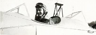
Post by lifejogger on Nov 30, 2006 10:54:47 GMT -5
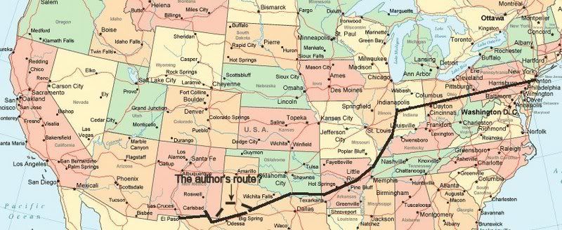
Reading the author’s description of the route they took on day 4 in the book and then trying to follow the route using a sectional makes you wonder if his memory might have been a little fuzzy, after all he wrote the book 31 years after he and his brother made the flight. In the book he says they left Albany heading towards Carlsbad, New Mexico flying to Sweetwater, Texas where they had to have the plane repaired and refueled. Then they flew to Lamesa , Seminole and then Wink, Texas where again they refueled. If you look at a map of West Texas you would see that it doesn’t make sense to fly the route he says they flew to get to Carlsbad. I didn’t follow their route, I left Albany flew to Sweetwater to refuel and then I followed Interstate 20 until I was just south of Wink and then flew there to refuel. I left Wink and followed the Pecos River (as they did in the book) to Carlsbad where I landed (in the book they had to land in Carlsbad to repair the plane).
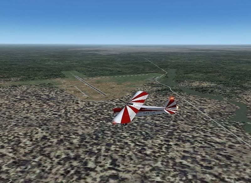
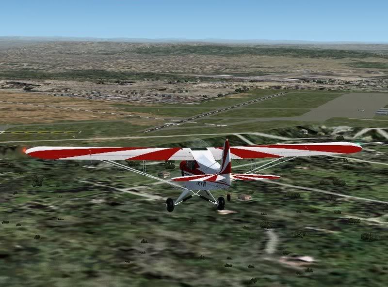
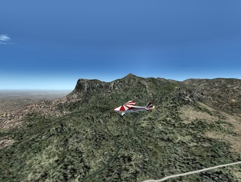
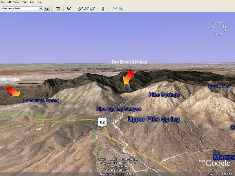
The final leg of the flight on day 4 was to fly from Carlsbad through the Guadalupe Pass and then to El Paso. I studied the El Paso and New Mexico sectionals and saw that after leaving Carlsbad if I climbed to 7,500 feet and followed the Guadalupe Mountains (keeping them on my right side, no mountains on the left) I would easily fly over Guadalupe pass which has an elevation of 5,426 feet. I did this and reached El Paso with no problem. However in the book it appears that they flew up a valley, climbing to 11,000 feet, and then flew between the Guadalupe Peak and another peak of the Guadalupe Mountains (see screen shot) and then to El Paso. I wonder why they did it that way?
Flight of Passage after 4 days.
Wink, Texas
Carlsbad, New Mexico
The Guadalupe Mountains (southern section)
El Paso